When I awoke on our fifth day in the Boundary Waters, I knew it was a day to make up for lost time. The barrier between us and the next portage had melted into the lake, and it was time to put a significant number of miles behind us.
Of the eight miles covered, roughly three miles were portage trails. There were five trails that we needed to hit, three of which were between a half-mile and a mile long.

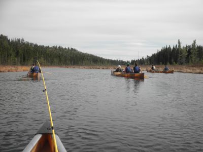
From Lynx lake, we portaged over into Ruby Lake before crossing Hustler Lake. Once we were told that there was no more ice on Oyster, our group continued across Oyster Lake and followed the Oyster River before portaging into Lake Agnes, where we made camp.
Navigating and orienteering are crucial skills in the Boundary Waters. Each of the students in my group was taught how to use a compass and interpret the topographical maps that were given to us.
Until our fifth day we had been accustomed to working with rivers and small lakes, and navigating through them doesn’t require a compass. However, venturing past the peninsula on Oyster Lake required a compass.
Ideally, a straight shot to our intended destination would avoid a long detour along the coastline, as well as waisted energy. Using the compass and map to orient our current location, North, and the destination, we were able to navigate over big lakes using topographical maps that show various land features.
Topographical maps show much more than elevation changes alone, including anything from shipwrecks to churches. However, our maps showed only a few land features compared to the topographical maps that can be ordered online. Our maps showed elevation, portage trails, subaquatic depth, rapids, campsites, and marshy areas.
For the most part, these were the only features that would concern us anyhow.
But what makes this particular excursion into the Boundary Waters so unique is that the ice adds a new, unmappable element to the mix. Since we are unable to physically see the lakes from a mile away, picking our route quickly becomes guesswork.
On our third day when we happened across a few fishermen on our way to Shell Lake, they gave us a quick rundown about what they knew of the area we were headed. They gave us ideal fishing spots, tips, and explained which lakes were supposedly covered with ice.
This is typical of the Boundary Waters. Not only are canoes, gear and travelers transported over portage paths, but information is passed on the occasion that travelers intersect at a portage, giving us an idea of what is on the other side.
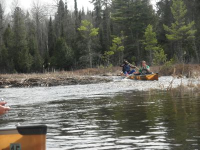
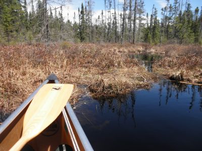
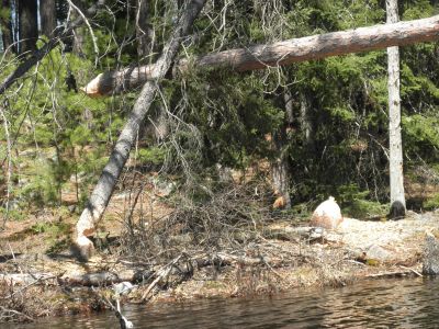
Freshman Logan Steingass and Junior Sunday Mahaja ride through the shallow channel created by an incomplete beaver dam on Oyster River.
As we headed out of Lynx Lake on our fifth day, it was hard to know what to expect from lake to lake. Beyond Lynx is a small lake, Ruby Lake, and after that is a much larger lake referred to as Hustler.
On the East side of a 310 rod portage out of Hustler Lake, Oyster Lake provides Walleye and Trout fishing–but has been rumored to be covered with ice according to the fishermen we encountered earlier.
Our best solution was to wait at the campsite just before that mile-long portage, while three people ran across to Oyster Lake on a reconnaissance mission, checking if the lake had been iced over.
“Oyster is clear!,” announced Logan Steingass upon his return with Daniel Graber, and Val Hershberger. After clearing the portage and having lunch on Oyster Lake, we continued East to follow the Oyster River, which meets up with another portage leading directly into Lake Agnes, where we set up camp for the night.
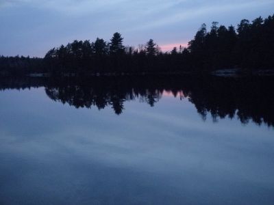
After three long portages and miles of paddling, the group was very ready to kick back and enjoy the stillness that was so uncharacteristic of a lake the size of Lake Agnes.
With one more full day out in the Boundary Waters, our group made plans for our last day–a leisurely paddle up into Canada.

