As a direct result of the ice, our plans for the Boundary Waters changed daily. Instead of heading straight North on our first day, we were forced to push East as the ice permitted to get as close to Stuart Lake as possible.
We never intended to take the route we did, but our sixth day offered a chance to do one of the things that was along originally planned path.
The Canadian border runs right through Lax La Croix, a massive lake that we originally intended reach on our first day, follow it North and then East. Just over the border, seven miles due North from our campsite on Lake Agnes, is Warrior Hill.
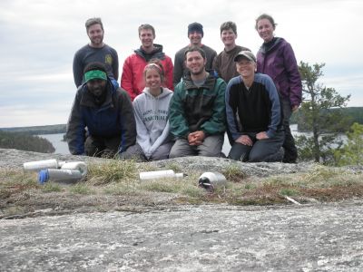
Warrior Hill is a favorite destination for the Goshen College Boundary Waters course. After pulling the canoes out of the water, the group scrambles up to the summit for a brief quiet time, lunch, pictures and reflection.
Our course wasn’t originally going to enable us to go to Warrior Hill since our last full day was going to be used to get to Stuart Lake. From Stuart, we would head to the South side of the lake and take a one and a half mile portage to the parking lot to be picked up.
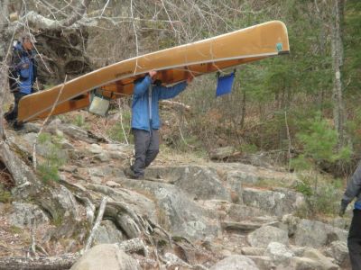
But our location on Lake Agnes was too good to pass up. We decided to leave everything we had at our campground, and take only three of our four canoes on the seven mile journey to Warrior Hill.
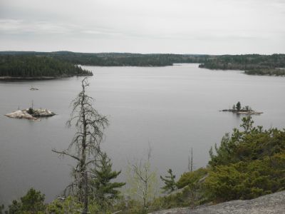
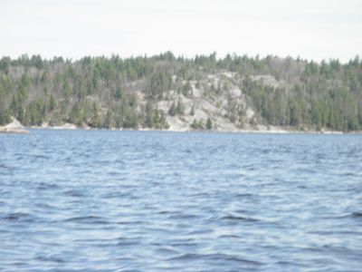
Warrior Hill gets its name from the native Ojibwa Indians, who believed that a young man needed to climb the hill before he could become a warrior. From on top of the hill, one can see a large area of the Boundary Waters with the naked eye–something that is only possible from a handful of locations.
Each of us took in the view, and with our quiet time we meandered to different spots for a few minutes of silent reflection. Looking out over the Waters from Warrior Hill, I don’t see any distant street lights, airplanes flying overhead, or faint blinking red dots of a distant cell phone tower. All I can see are the dreary clouds, the green leaves, and the gently flowing current of Lac La Croix.
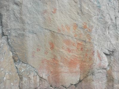
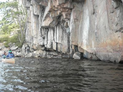
Only two miles West by Northwest from Warrior Hill, there are two cliffs that hang over the water. The Ojibwa Indians believed these places to be the most sacred places on Earth, for it is where Earth, the water, and the sky all come together.
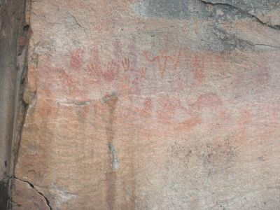
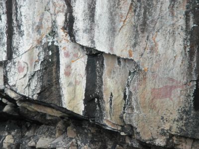
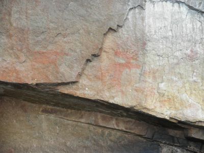
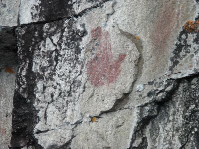
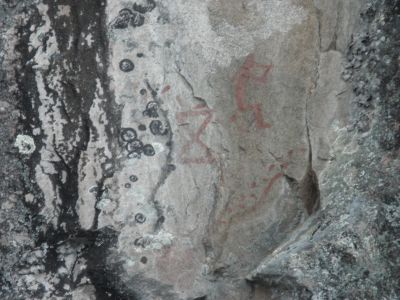
Because of these beliefs, the Native Americans put pictographs of red dye onto the rock face. Each pictograph tells a story, represents a person, or represents a person’s spirit guide.
Our three canoes drifted underneath the cliffs, while the nine paddlers within remained awestruck by the paintings on the wall. To us, they represented a connection to the past, a link to the people who called this place home long before the pilgrims, the French fur traders, or the American Revolution.
The pictographs are a very popular destination for thousands of people every year, perplexing with their simplicity and unspoken history.
Retracing our path, we returned to Lake Agnes to finish a 14-mile day of paddling. All of us were tired, and we knew that packing up camp and heading to Stuart was simply not an option for the day.
The nearest way out of the Boundary Waters from our site on Lake Agnes was to head South into the Nina Moose entry/exit point.
Letting Wilderness Wind know where to pick us up without cell phone coverage would be a different challenge.
