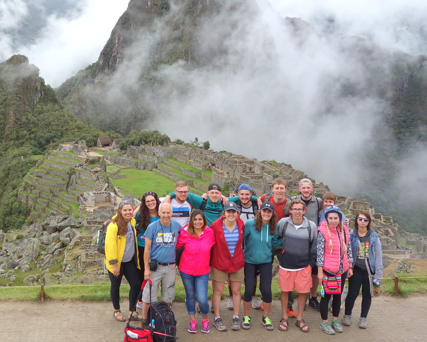
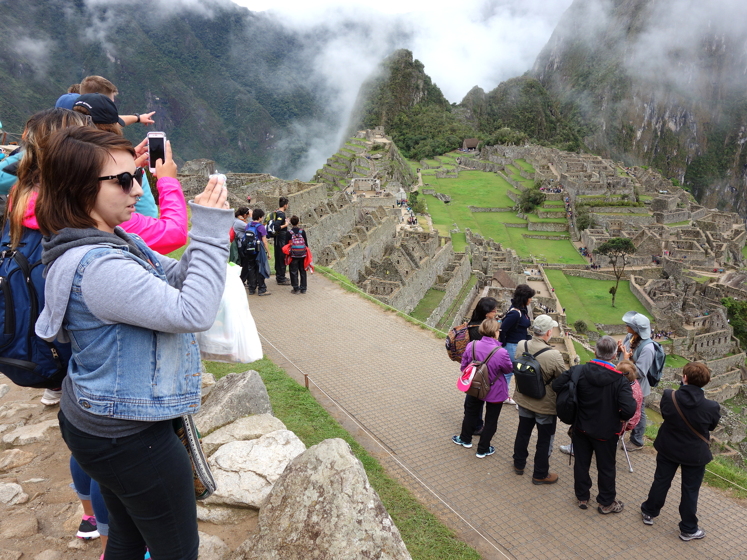
The good part of visiting Machu Picchu in February is that this is the tourist “low season,” meaning there are fewer crowds to contend with. The bad part of “low season” is the reason few tourists come now: it rains frequently and the ruins can be covered in fog/clouds. We woke this morning to the sound of rain, but it slowed to an off/on drizzle for the rest of the day so that we never got soaked nor had the spectacular views obstructed.
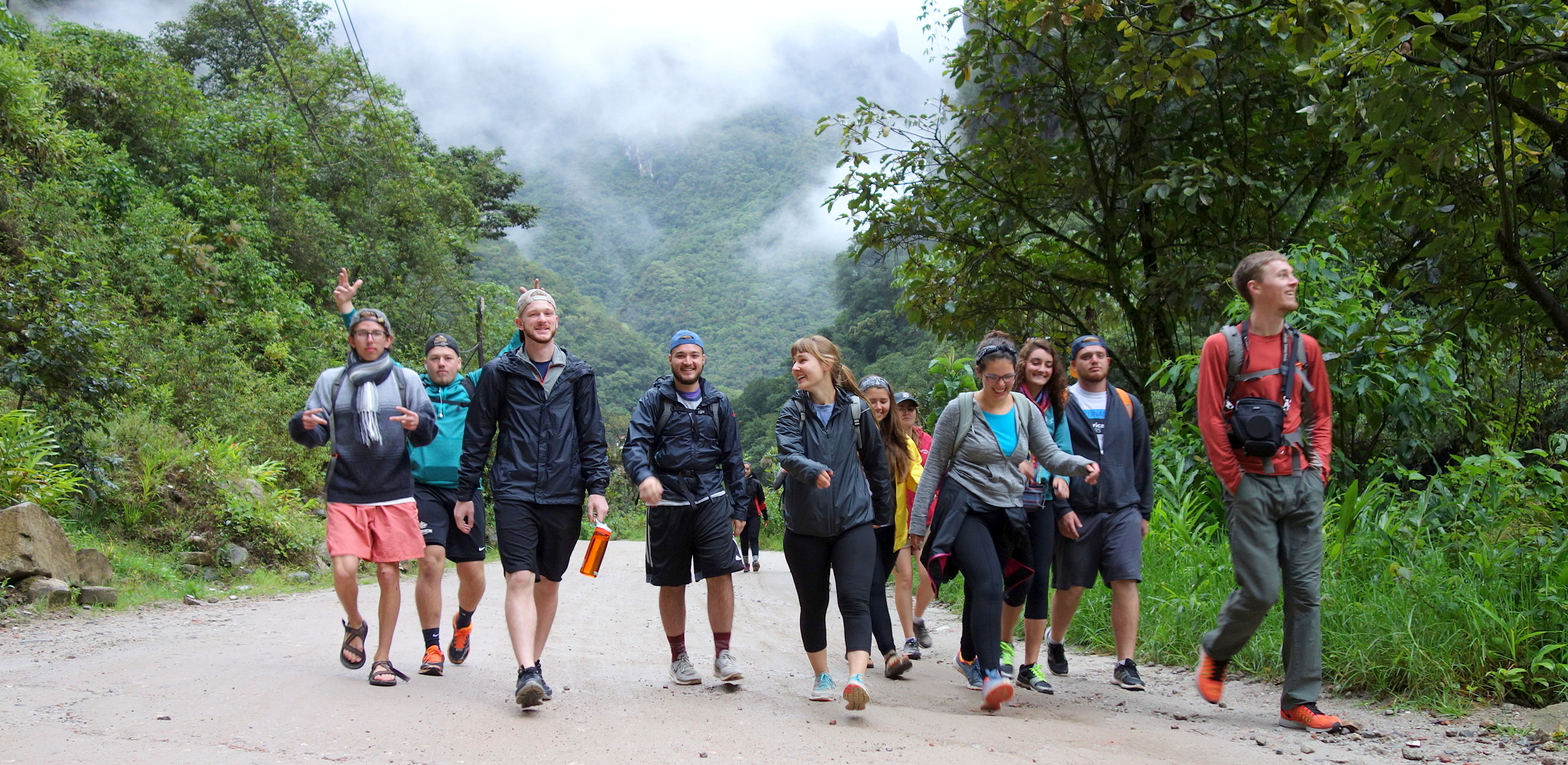
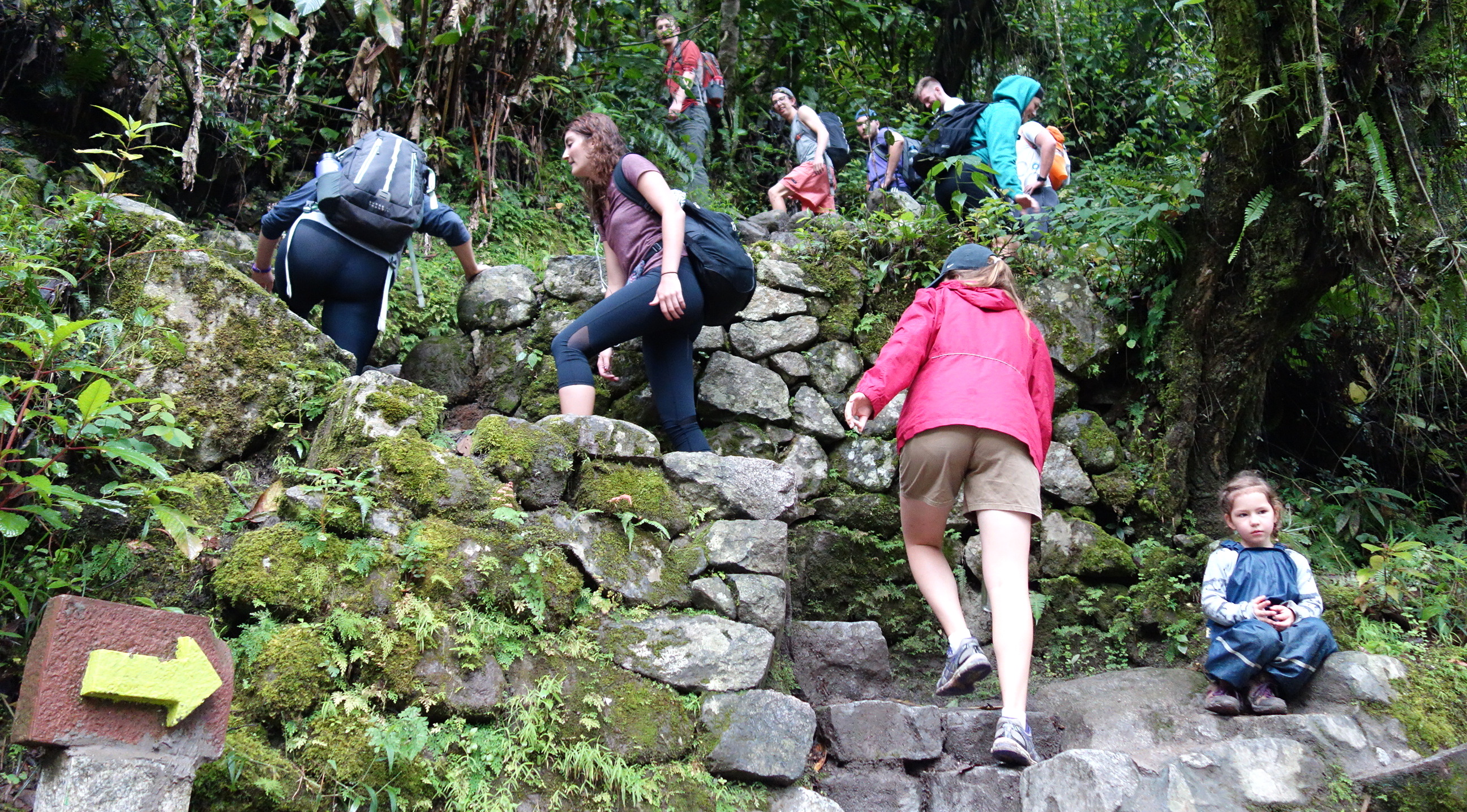
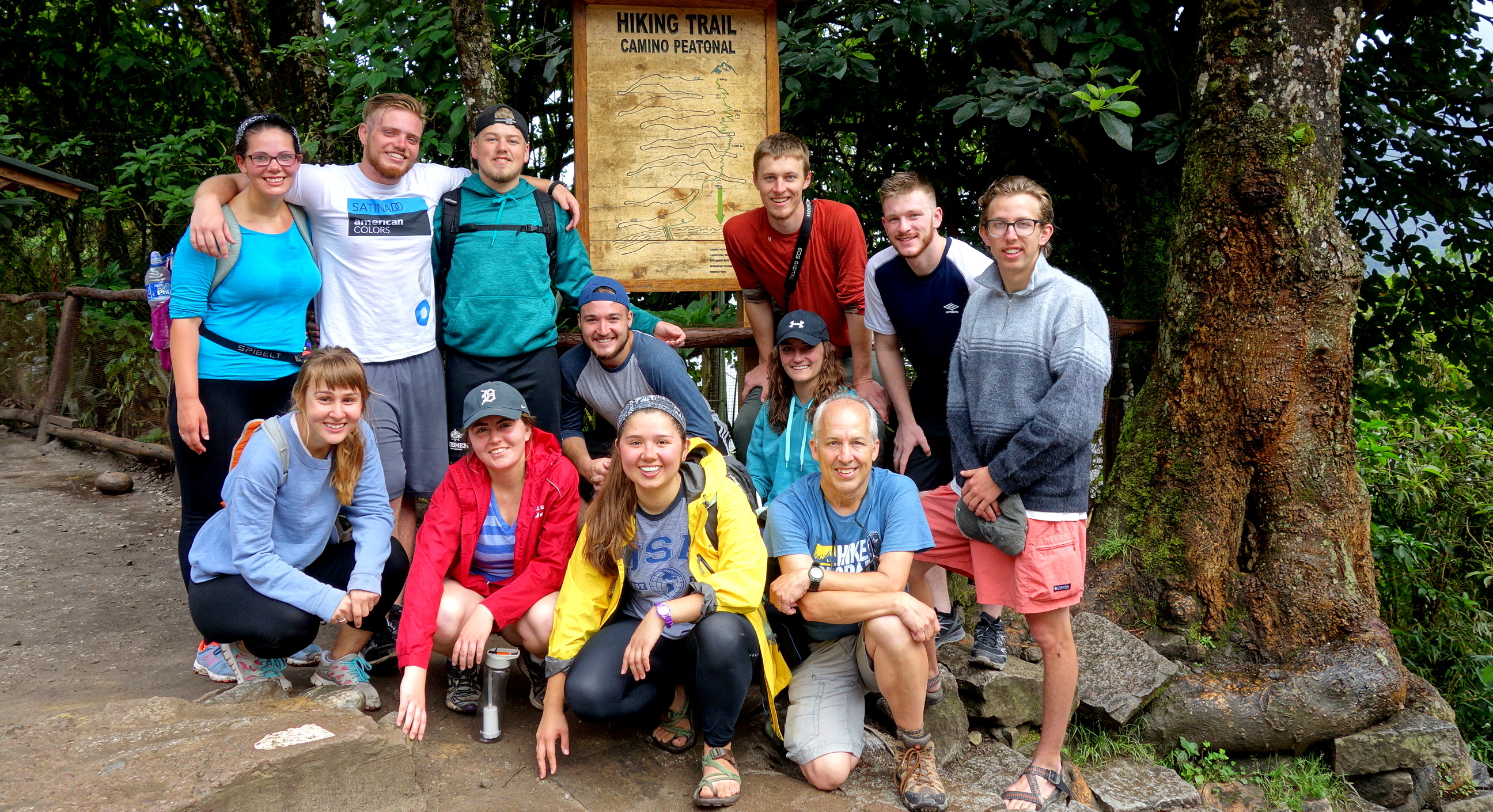
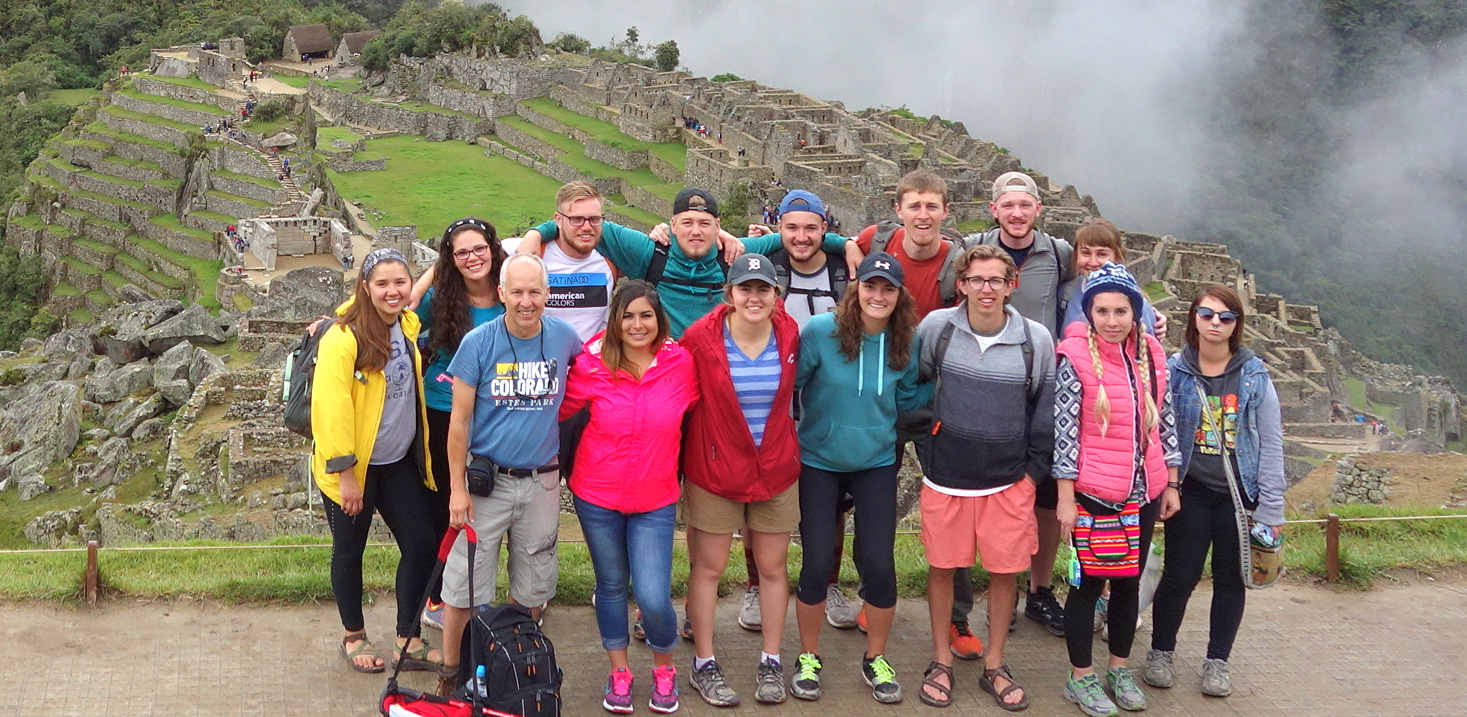
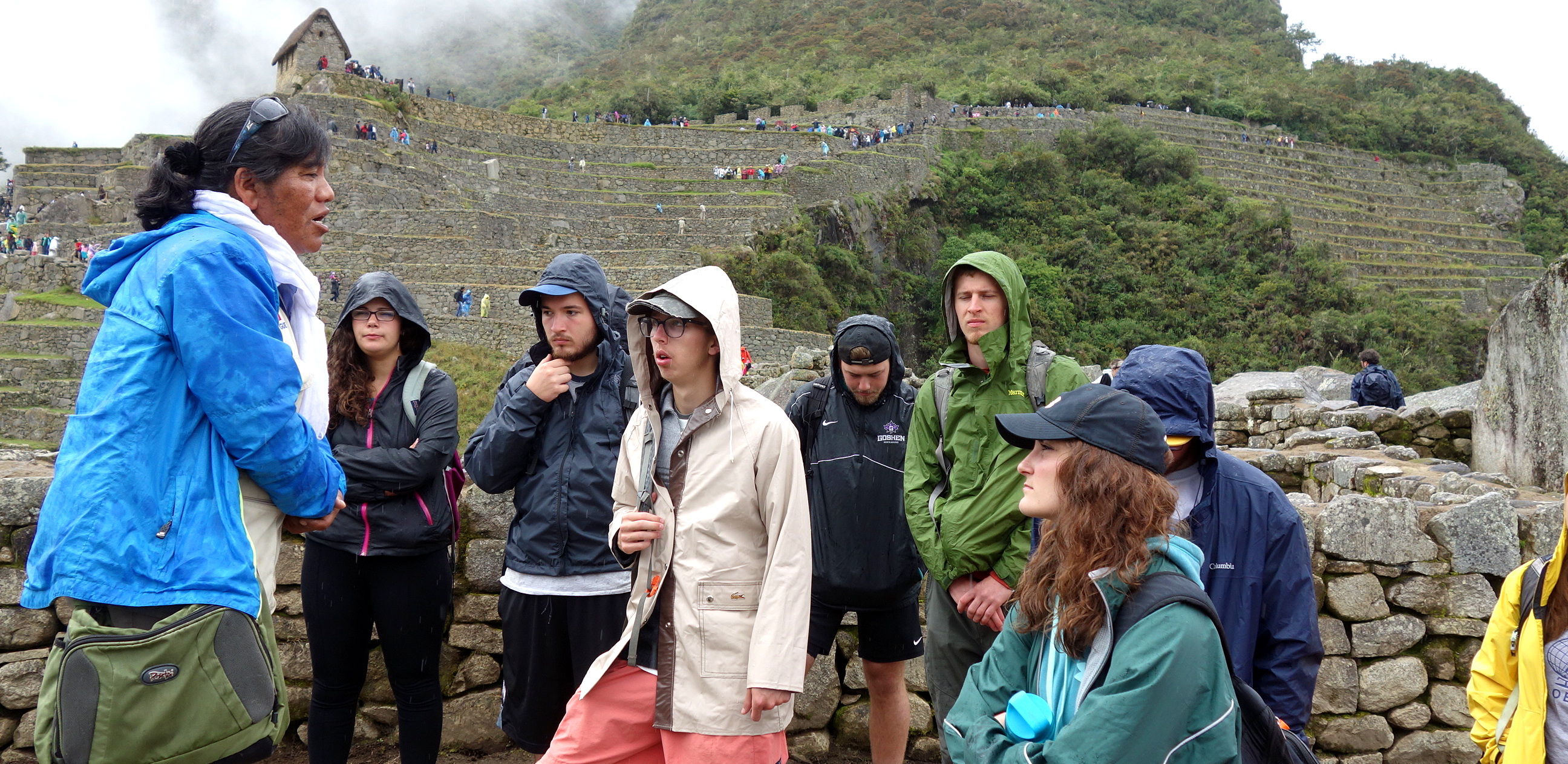
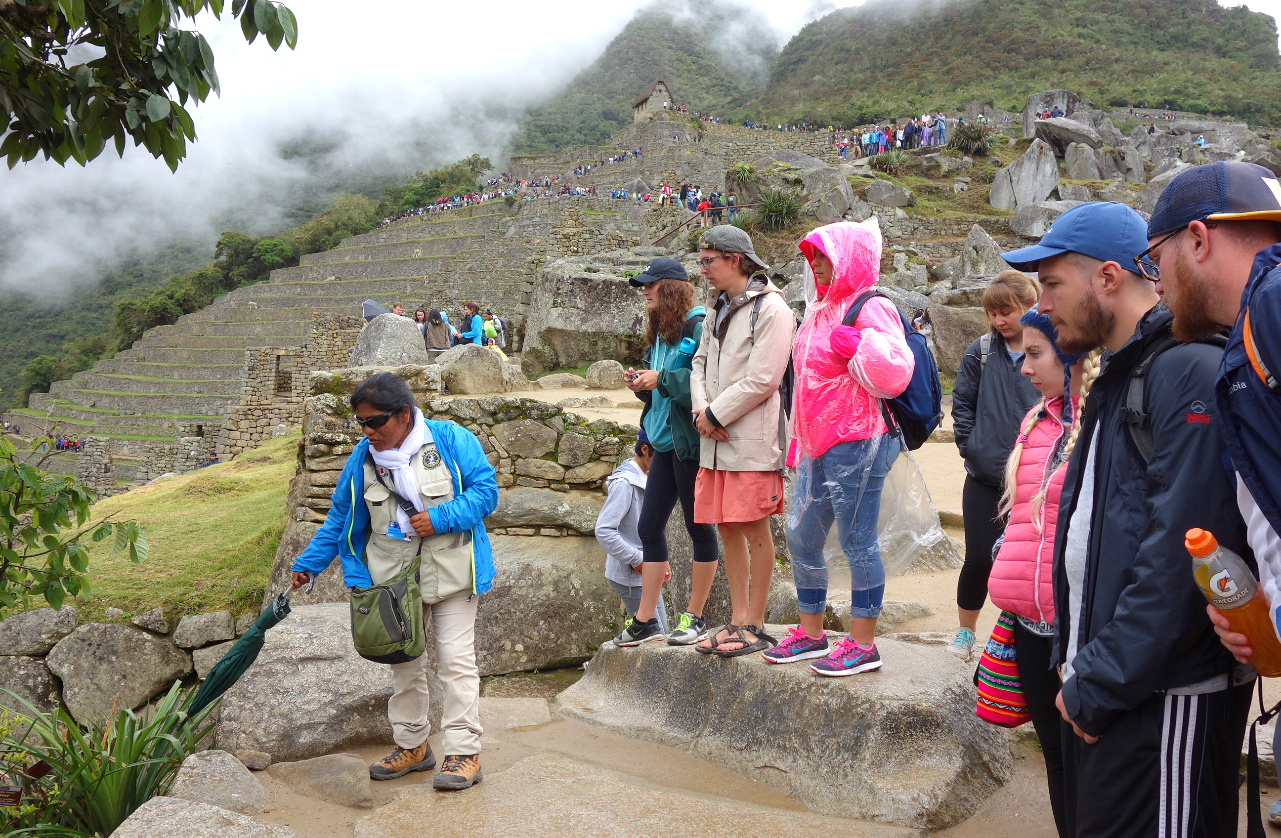
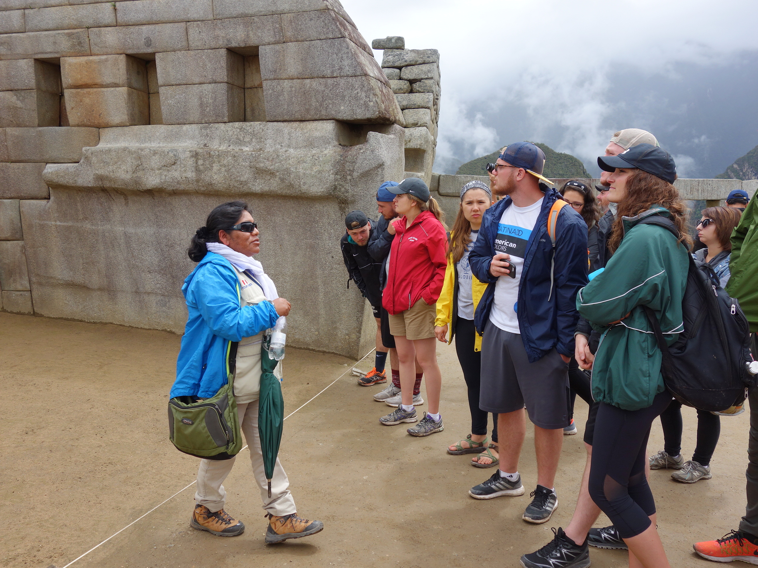
While the traditional way to get from Aguas Calientes up to Machu Picchu, 1300 feet above us, is by bus, a group decided to start earlier so they could hike up the mountain. Once we were all at the ruins, our 3-hour tour began, exploring the ancient city from top to bottom. After lunch outside the ruins students were free to either return to the ruins or take a hike to the “Sun Gate,” a nearby mountain pass with ruins overlooking Machu Picchu.
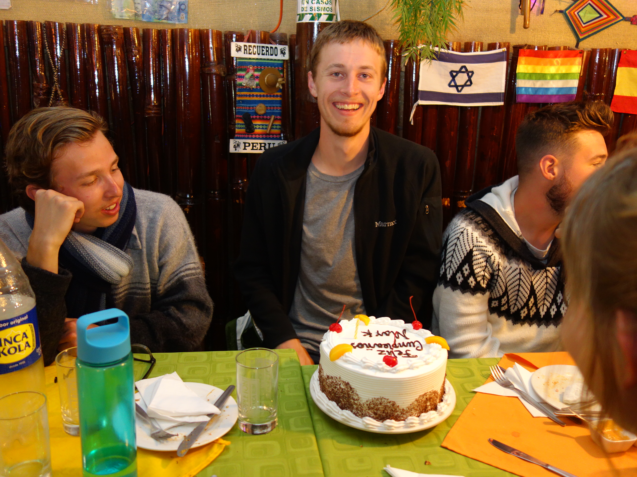
Back at Aguas Calientes students had more free time for souvenir shopping before we met for our last supper together as a group before everyone departs for service locations.
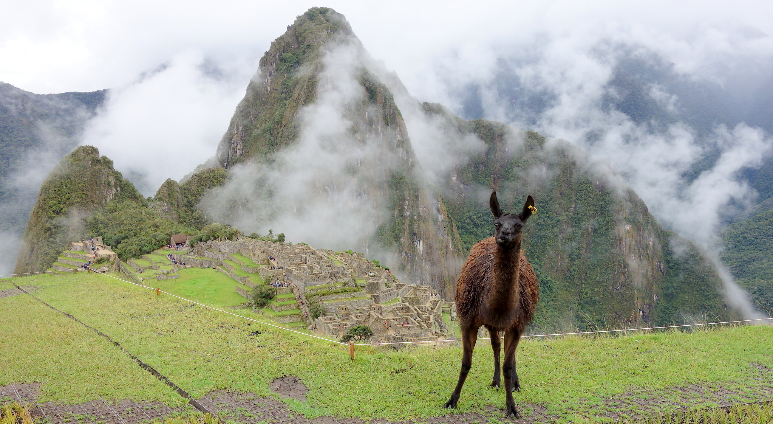
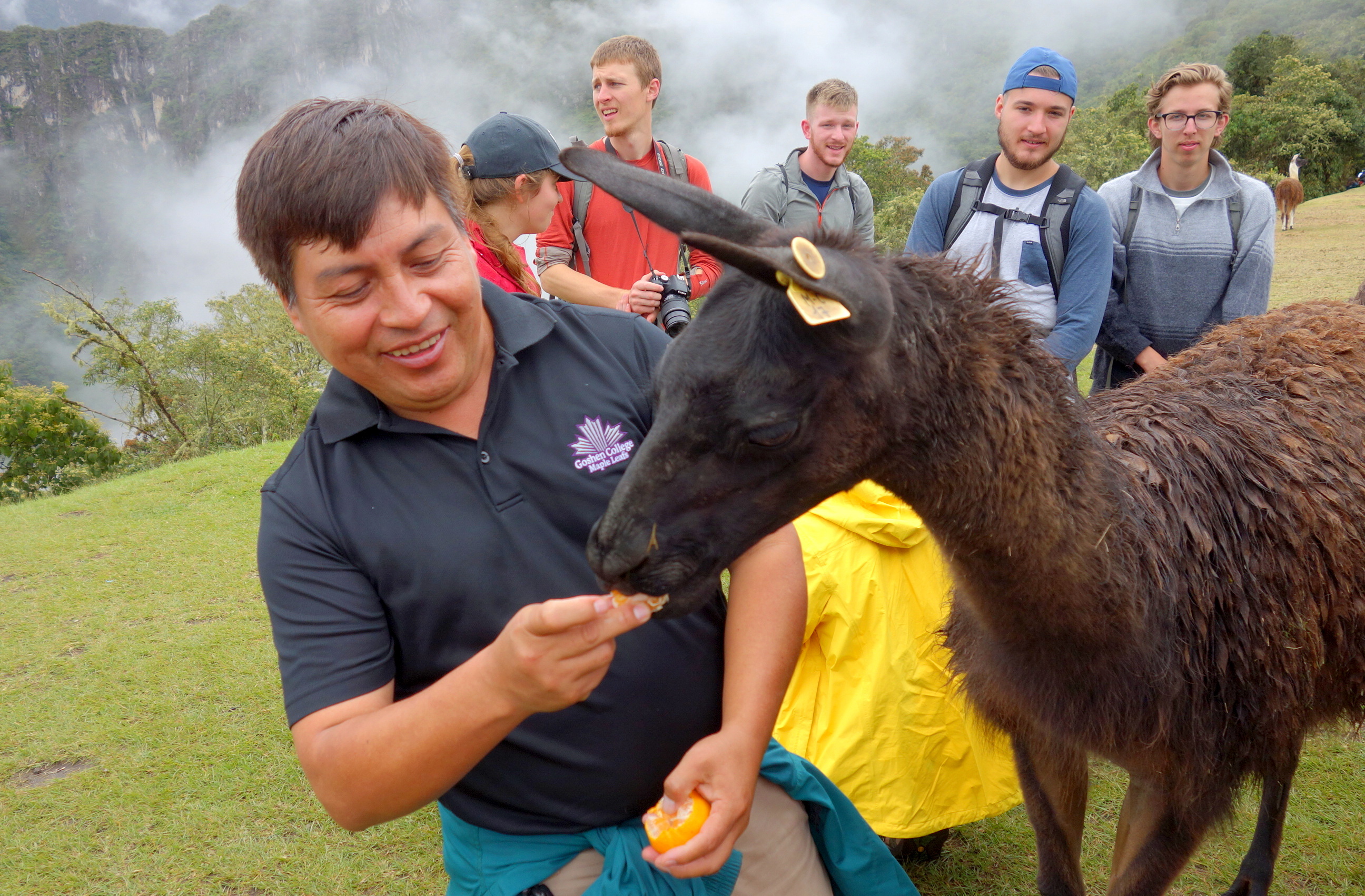
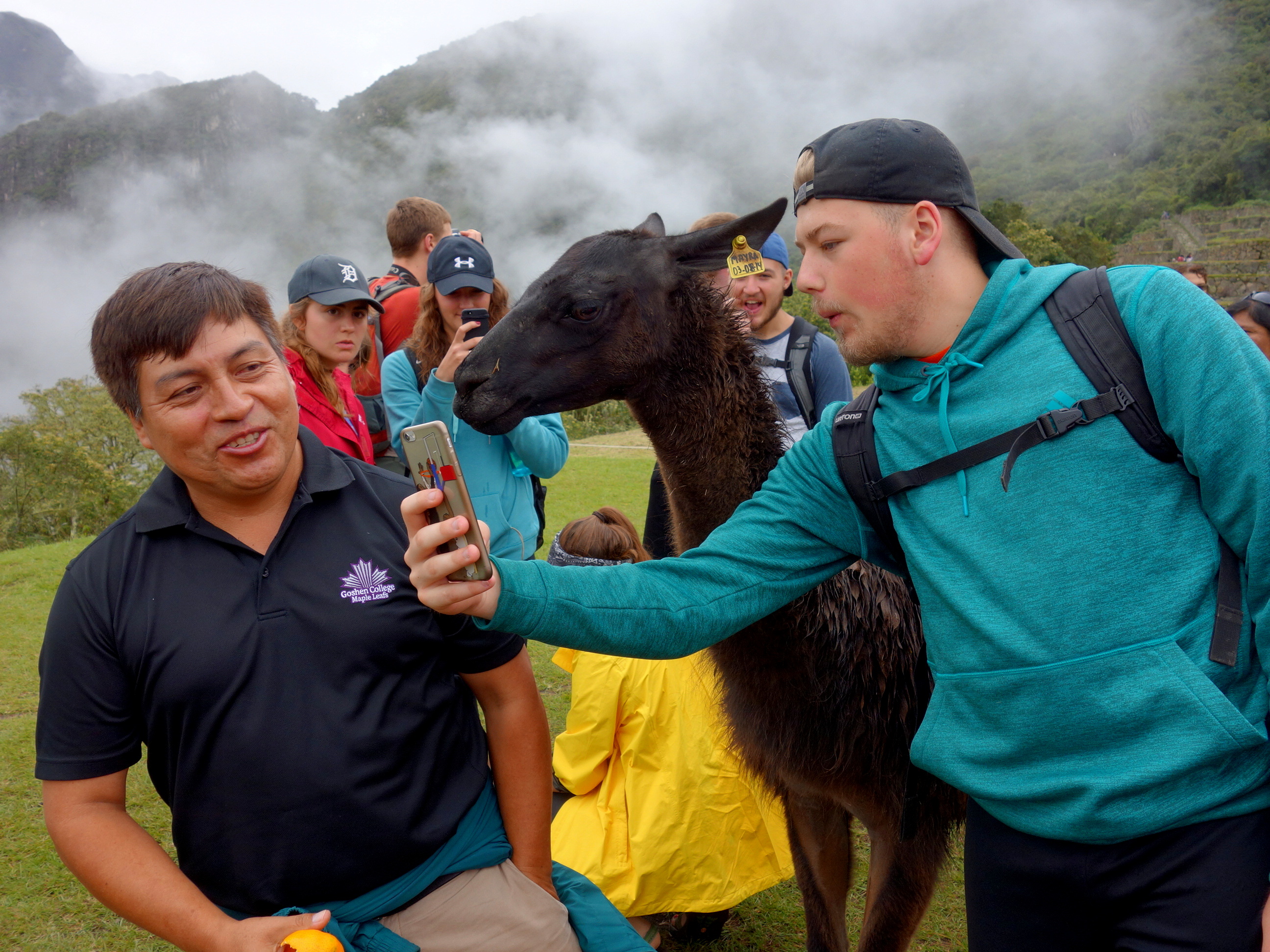
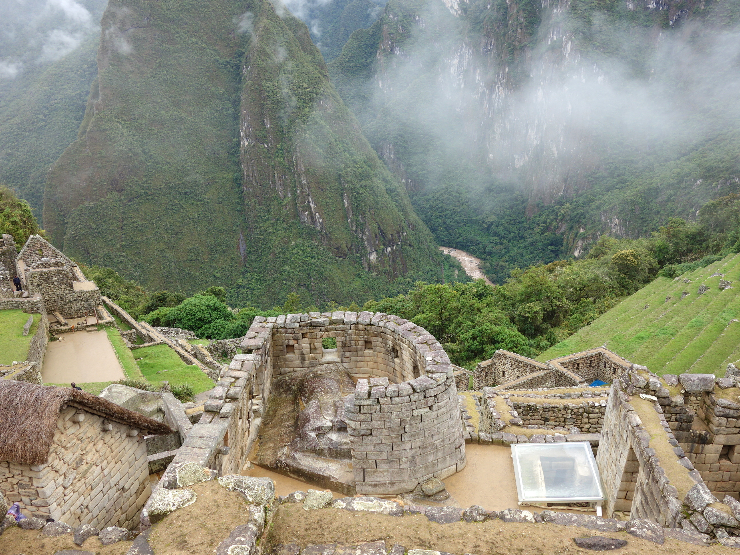
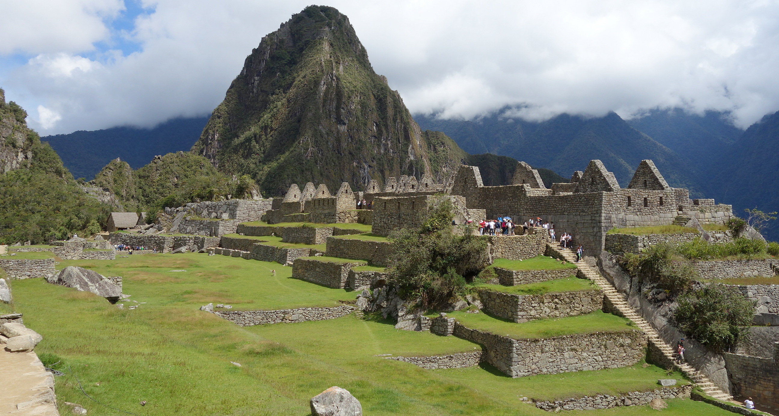
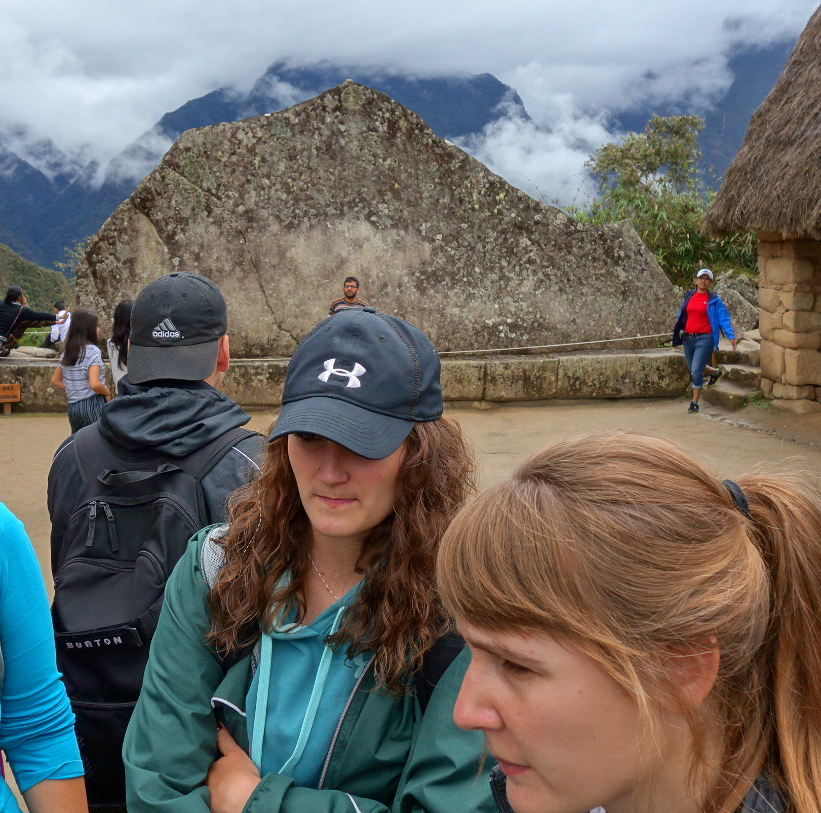
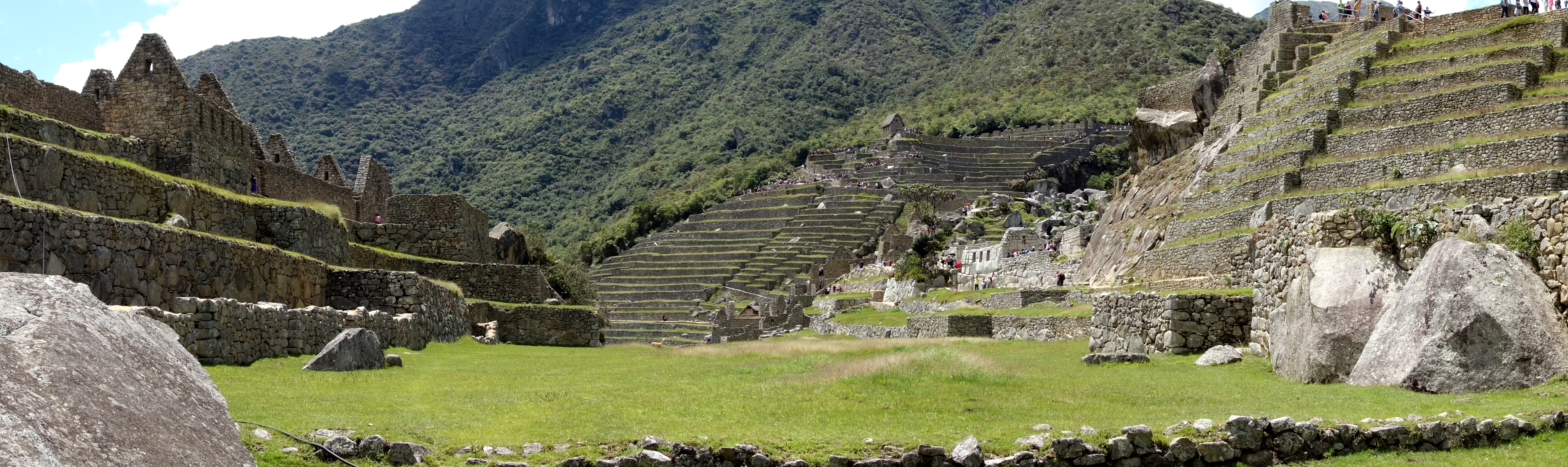
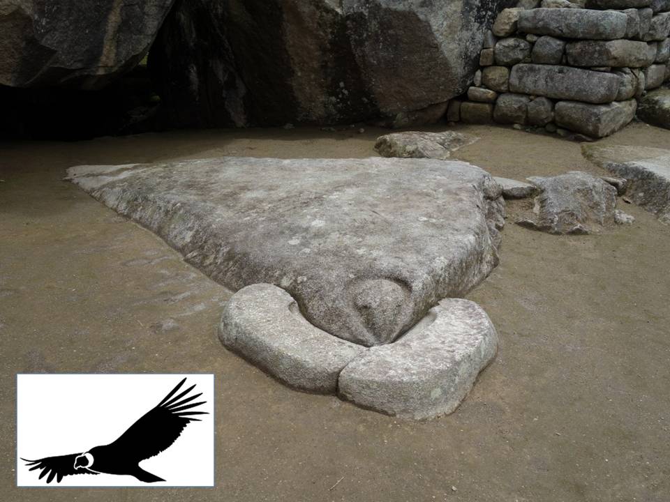
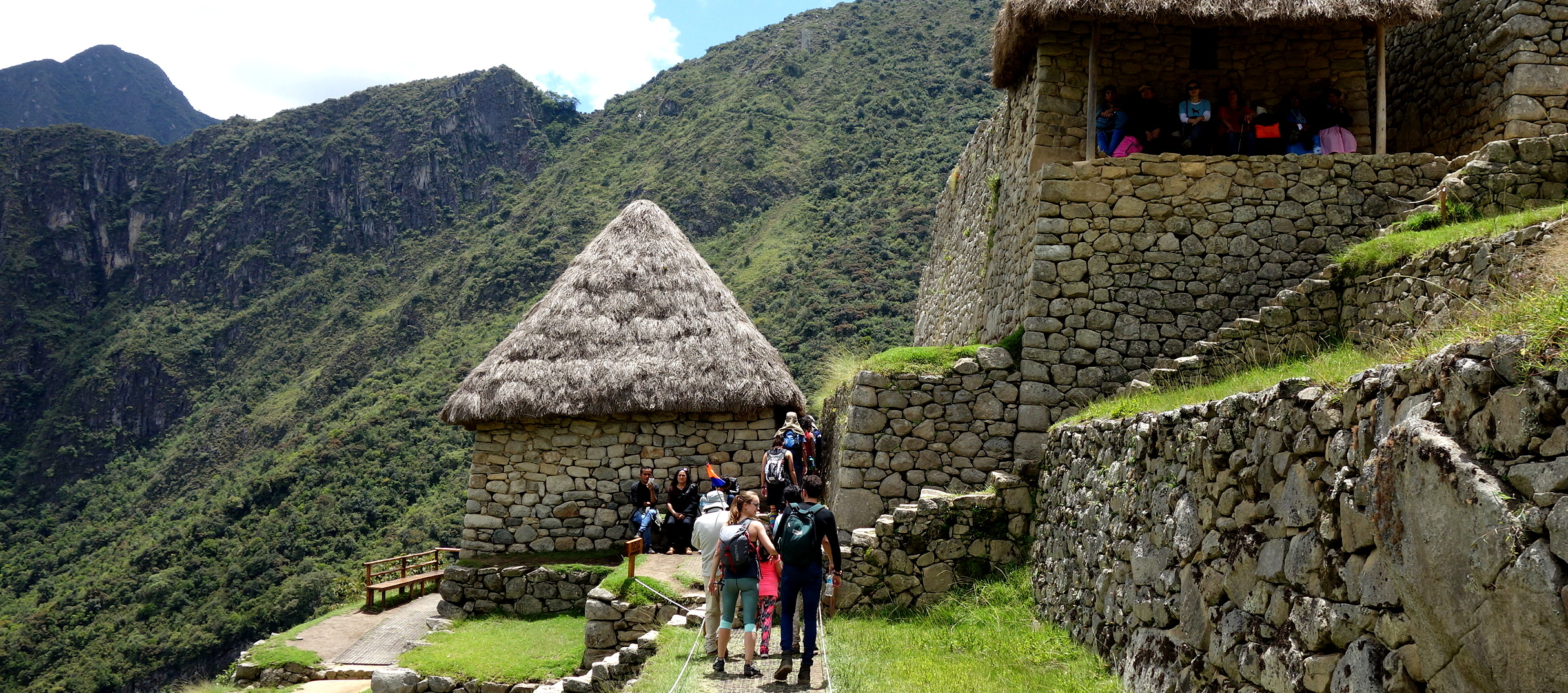
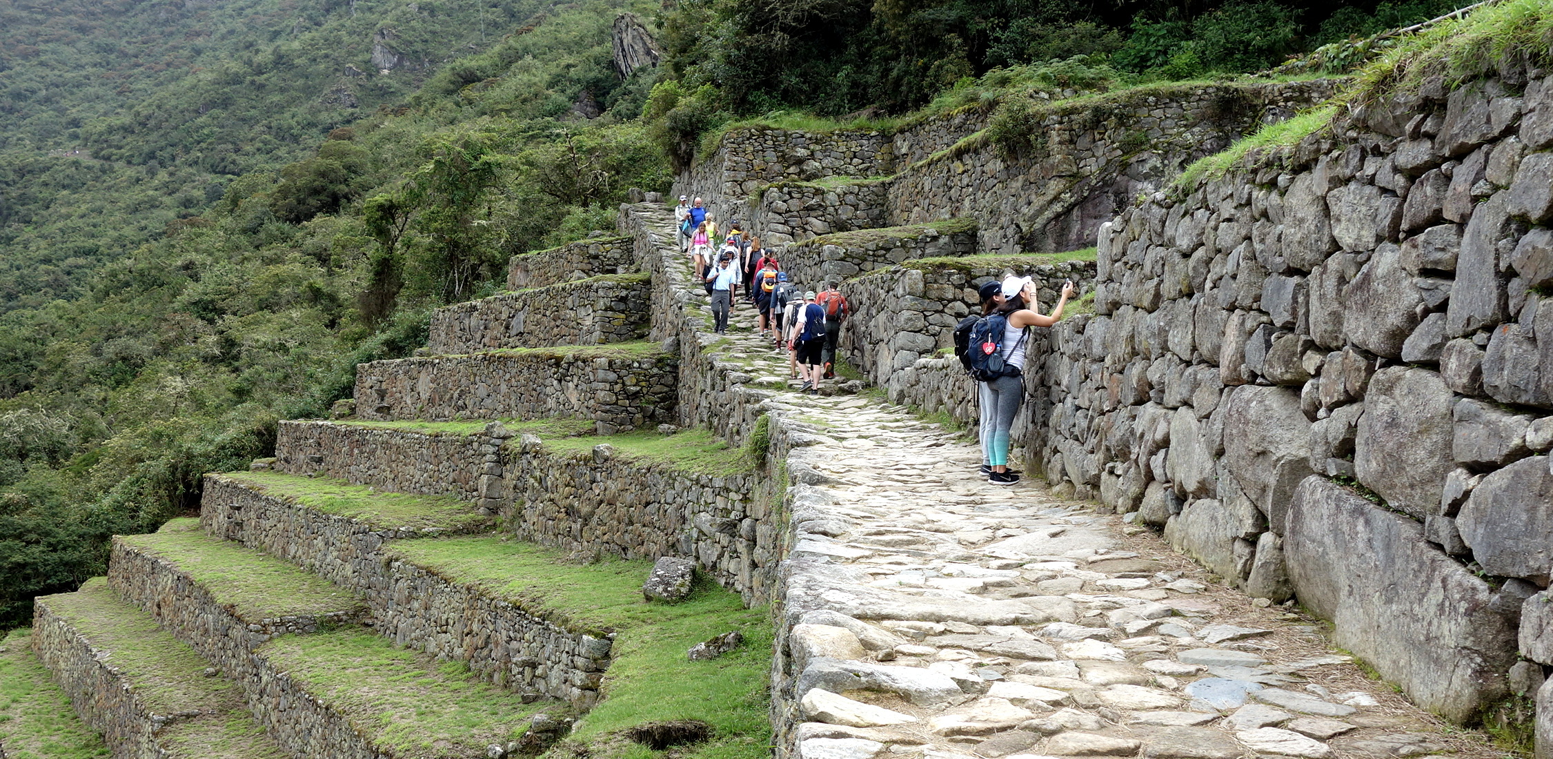
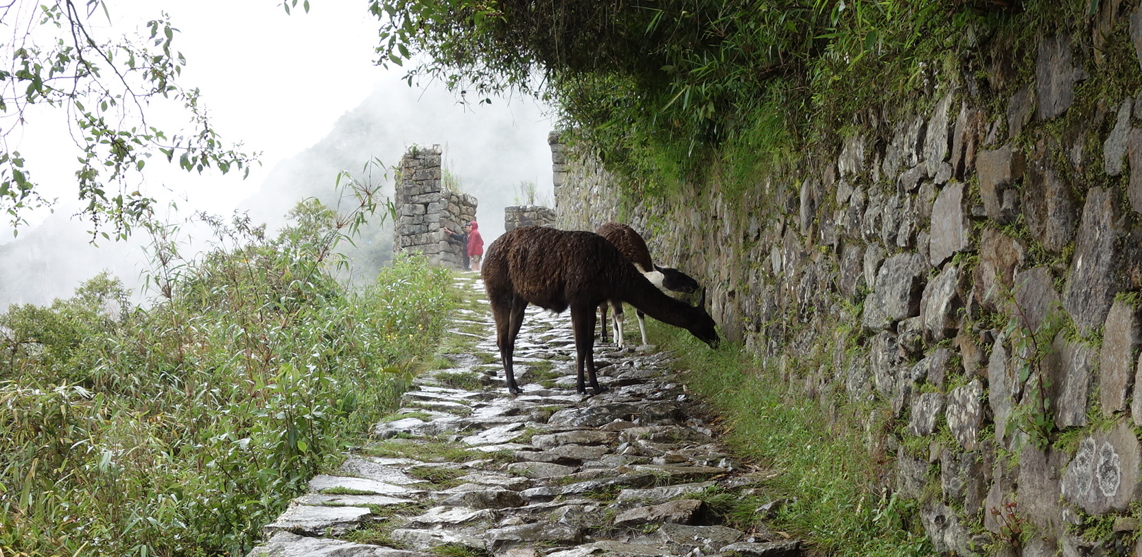
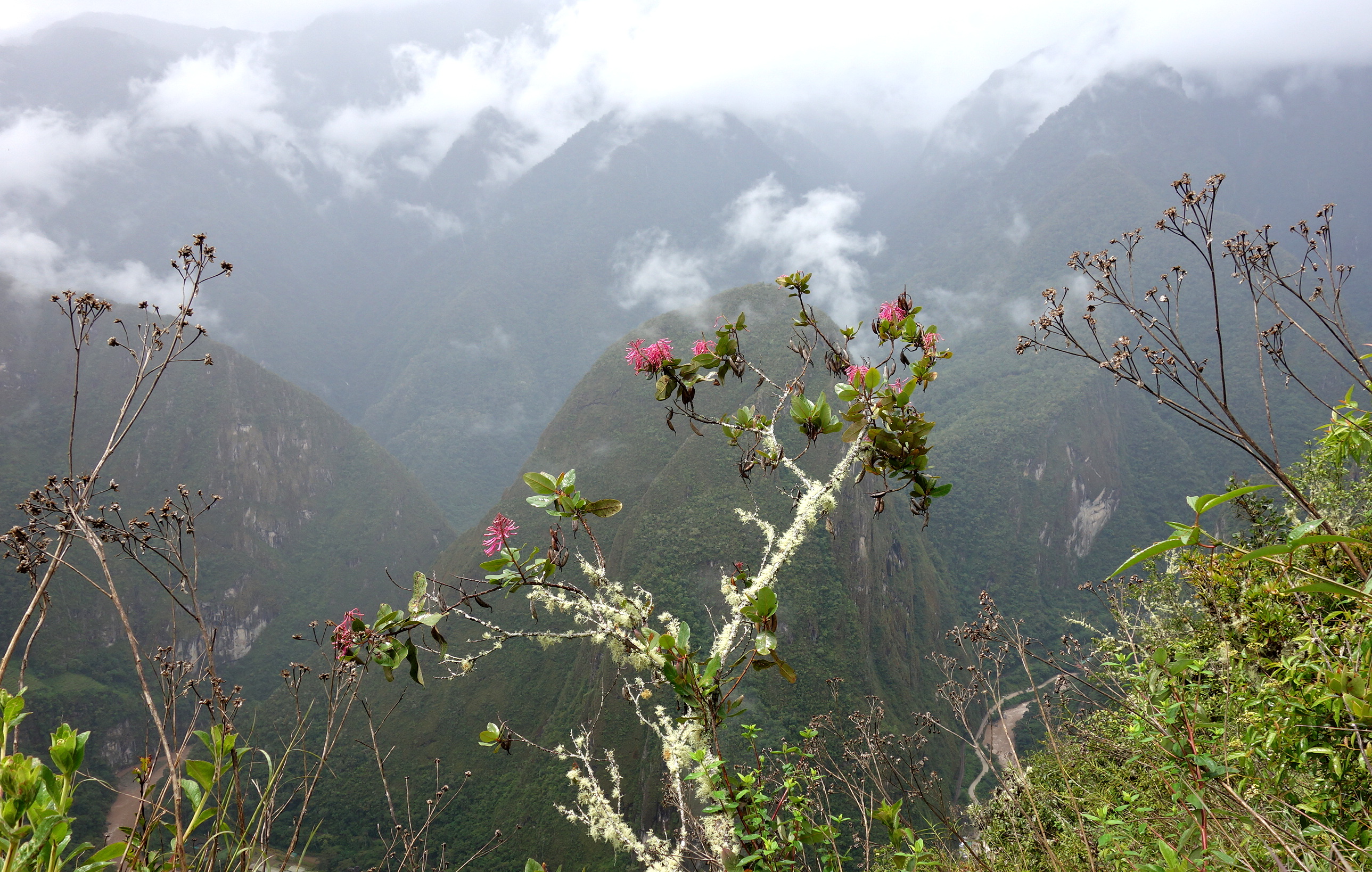
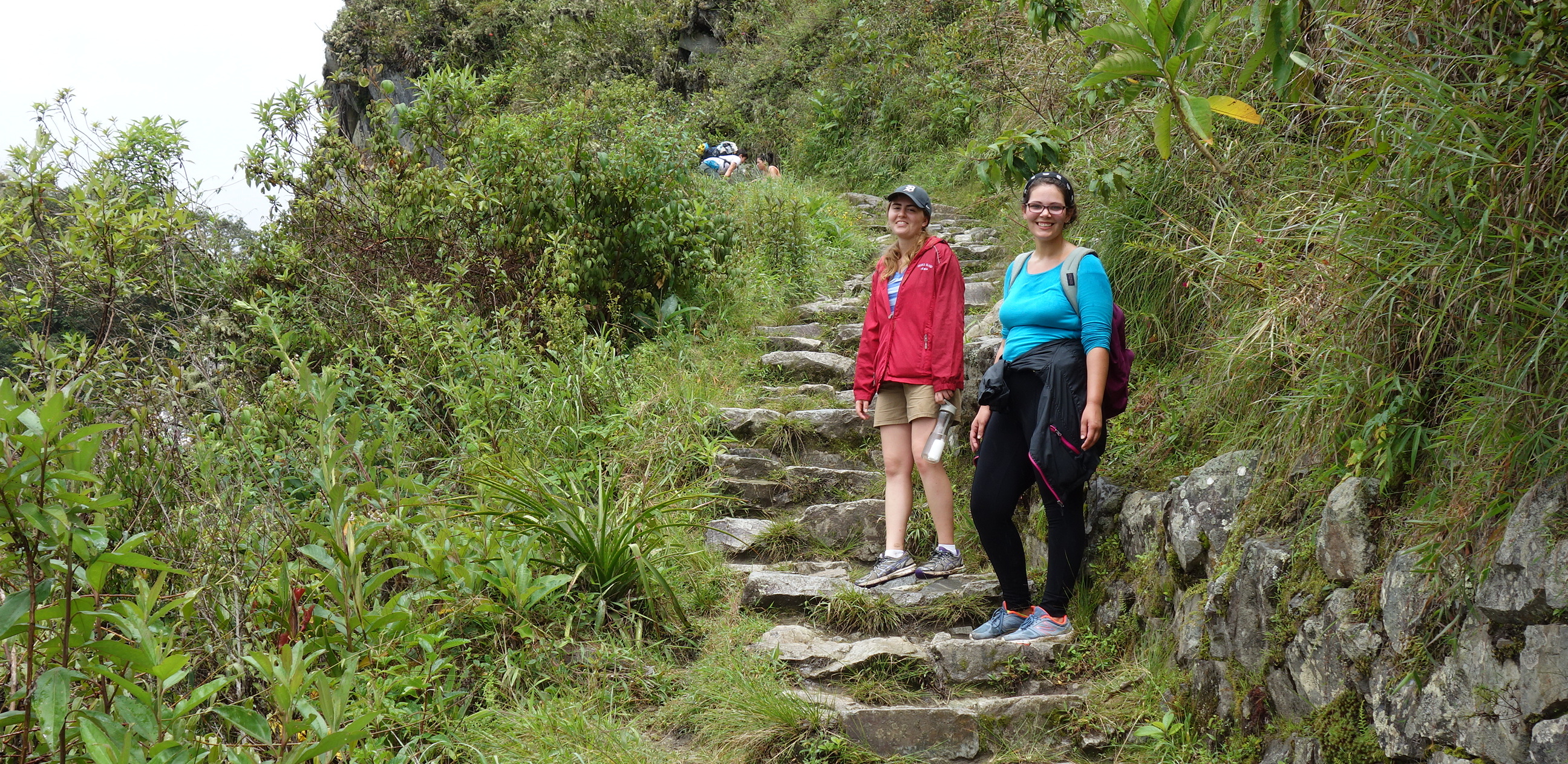
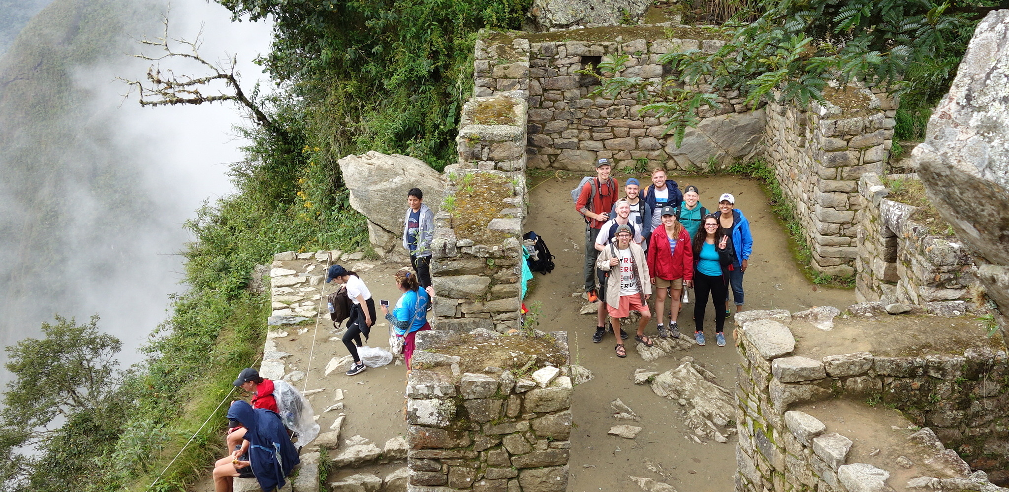
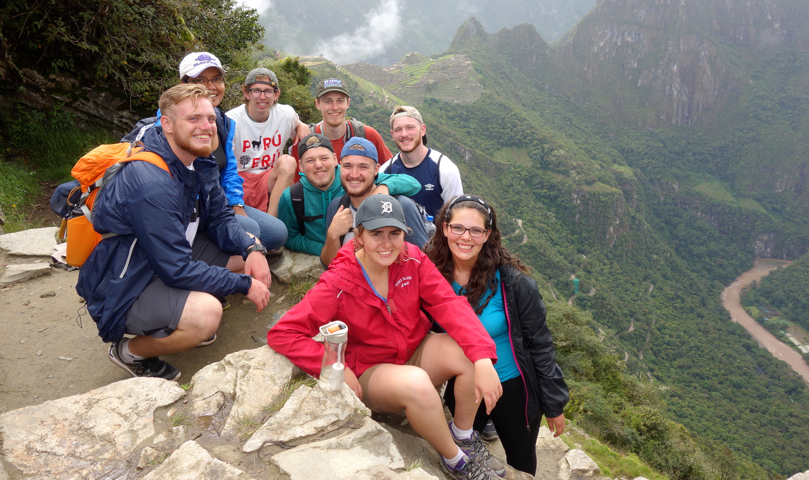
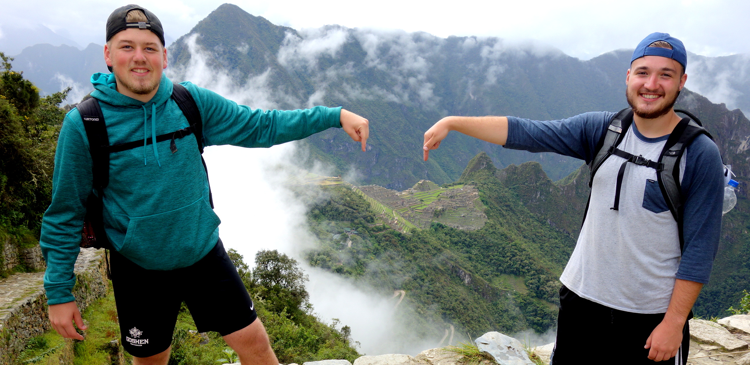
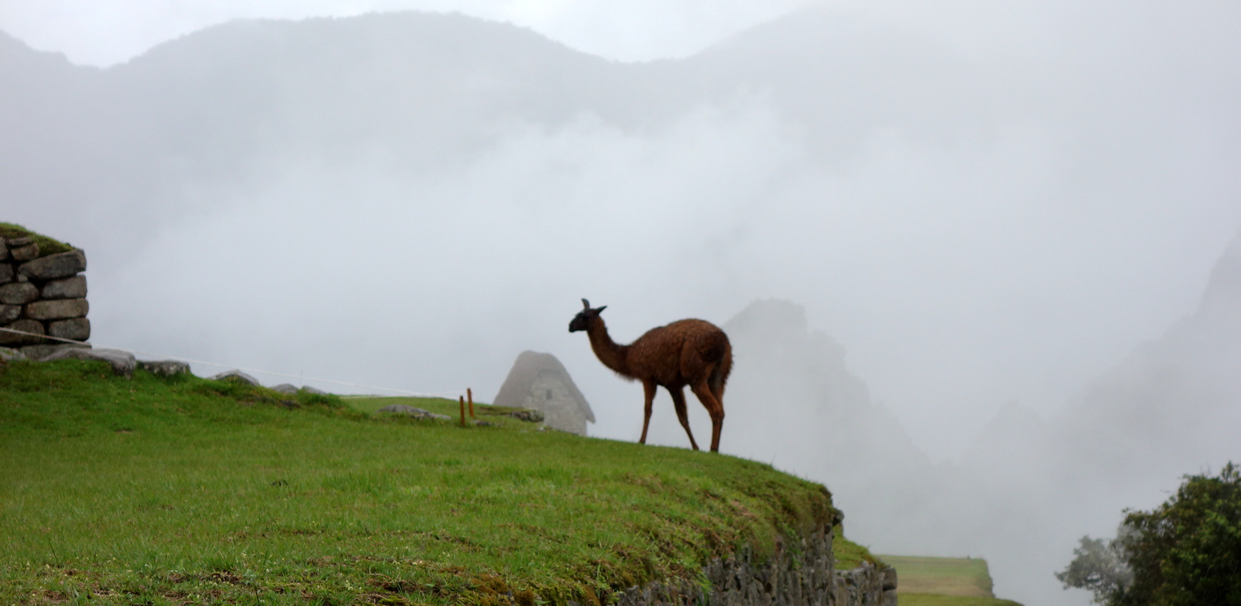
Those walking up to Machu Picchu got an early start at 6:30.To reach Machu Picchu you climb only 1,772 stairs.The group of climbers all made it!Our tour started at the original entrance gate, where you see the city in all its splendor.“I smell a tangerine. Where is it!”Willy knows how to make an alpaca happy.Tyler tried to feed the alpaca a picture of a tangerine on his “smart” phone. The alpaca wasn’t biting.We visited so many ruins this week that I forgot the name of these.In the terraces above and below the city the Incas grew pumpkins, squash, peppers and different tubers.The Temple of the Sun has a window to mark the winter solstice.Terraces were constructed with stone chips under the topsoil to allow drainage and prevent mudslides.Graciela, our guide, shows us a garden of medicinal plants the Incas grew in the city.Temples always had niches, like these, for ceremonial objects or mummies in a fetal position.The Intihuatana stone, of uncertain purpose, sits at the highest point of the city.The main plaza divided the city into 2 sectors: temples and living quarters (on the right).The Sacred Rock was carved to mimic the shape of the mountain behind it.From the main plaza crowds would look up to the high platform on the top right, where the Inca king stood.The Condor Rock (note the “collar” as in the inserted drawing) celebrates a bird the Incans revered for its power and majesty (and 8-foot wingspan).After more than 5 hours of hiking up to and around the ruins, Gabby and Dusti like the thought of lunch.The mountain notch above and to the left of the pointed roof is the Sun Gate, where a group headed after lunch.This is the Incan trail to the Sun Gate.Alpaca crossing. During much of the hike it was drizzling, but fortunately not raining.Some of the great scenery on the hike to the Sun Gate.Katie and Lauren enjoy a break in the drizzle.The Sun Gate. This was a military checkpoint controlling access to Machu Picchu via the Incan Trail.In the distance, Machu Picchu. At right, the road (and trail) we took up from the river.Tyler and Rowen indicate where they think a Five Guys Burger stand is needed.Farewell to Machu Picchu.Although a few days early, we celebrated Mark’s birthday during our last supper together, before everyone leaves for service assignments.